

Description
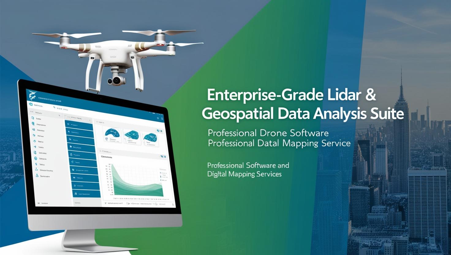
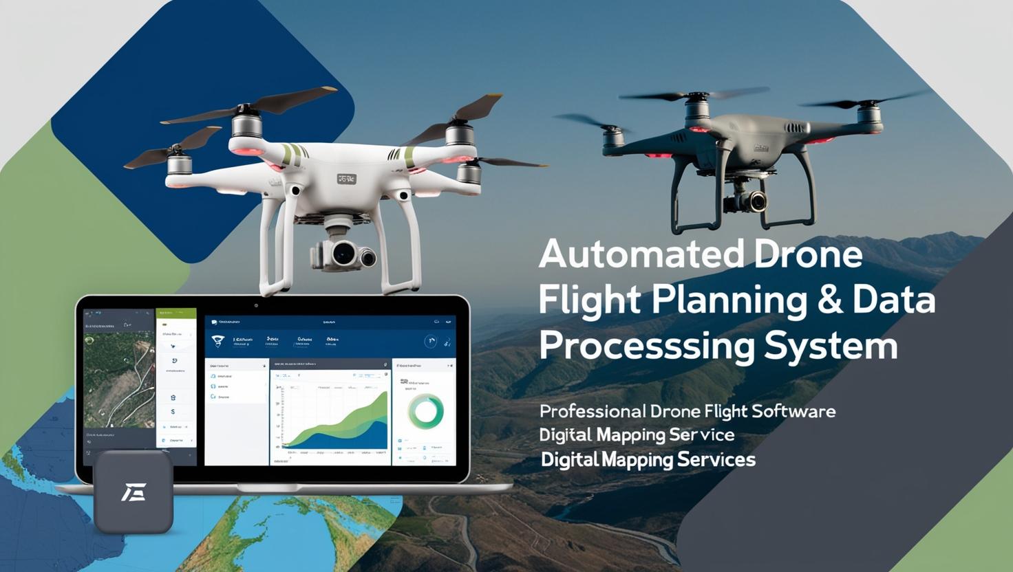
The AI-Powered Aerial Survey & Mapping Software transforms drone-based surveying with cutting-edge artificial intelligence. It enables automated terrain analysis, high-resolution orthomosaic generation, and real-time data processing for industries such as construction, agriculture, and environmental monitoring. The AI algorithms ensure precise topographical mapping, automatic feature recognition, and seamless 3D model creation. With cloud integration, teams can access and analyze data remotely, improving efficiency and reducing manual labor in large-scale geospatial projects.


Justina –
“We’ve been using AI-Powered Aerial Survey & Mapping Software for the past six months, and the impact on our workflow has been significant. The software’s intuitive interface made it easy for our team to quickly learn and implement, and the AI-powered data processing capabilities have dramatically reduced turnaround times for our survey projects. The accuracy of the mapping outputs is consistently impressive, saving us valuable time and resources in post-processing and validation. It’s truly enhanced our ability to deliver high-quality results to our clients, and we’re excited to see what future improvements and features are in store.”
Joseph –
“Our company’s workflow has been revolutionized since adopting AI-Powered Aerial Survey & Mapping Software. The automated data processing capabilities have significantly reduced turnaround times on projects, allowing us to deliver results to our clients faster and more efficiently than ever before. The intuitive interface made it easy for our team to learn and integrate into our existing processes, and the accuracy of the mapping data produced has been exceptional. The support team is also incredibly responsive and helpful, always ready to assist with any questions or challenges we encounter. This software has become an indispensable tool for our aerial survey and mapping operations, providing us with a competitive edge in the market.”
Saviour –
“I’ve been using AI-Powered Aerial Survey & Mapping Software for several months now and am incredibly impressed with its capabilities. The level of detail in the 3D models is stunning, and the AI-driven analysis tools have significantly reduced the time it takes to process data. The interface is intuitive, making it easy for my team to learn and use the software effectively. Furthermore, the customer support is outstanding; they’re always responsive and eager to help with any questions or challenges. It has definitely improved the efficiency and accuracy of our surveying projects, providing us with valuable insights we couldn’t obtain before.”
Onyekachi –
“We’ve been using AI-Powered Aerial Survey & Mapping Software for the past six months, and the results have been nothing short of remarkable. The software’s intuitive interface allowed our team to quickly integrate it into our existing workflow, and the AI-driven processing significantly reduced turnaround time on our mapping projects. The accuracy and detail of the outputs have exceeded our expectations, leading to improved decision-making and substantial cost savings. It has truly transformed the way we approach aerial surveying, providing us with insights we simply couldn’t obtain before. The customer support has also been exceptional, with the team always responsive and helpful in addressing our questions and needs. We’re extremely satisfied with this investment.”